No matter how much effort is made to improve the relationship between China and India, the dragon will not desist from its habit. He neither sits peacefully nor allows others to sit peacefully. This is why he keeps doing one thing or the other in between so that his bullying continues.
New Map Has Claimed Many Areas Including Taiwan
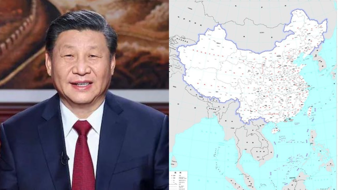
On Monday, China released the 2023 edition of its ‘standard map’. In this, Arunachal Pradesh has been described as a part of its country. Due to this, China has once again started promoting the border dispute and provoking India. On the one hand, China holds talks with Indian military officials in the name of ending the border dispute. On the other hand, by doing such irresponsible actions, it keep increasing the dispute.
The 2023 edition of China’s standard map was officially released on Monday and launched on the website of the standard map service hosted by the Ministry of Natural Resources. This map is compiled based on the drawing method of national boundaries of China and various countries… pic.twitter.com/bmtriz2Yqe
— Global Times (@globaltimesnews) August 28, 2023
A Few Days Later, The President Of China Will Attend The G-20 Conference
G-20 conferences will be held in India in the next few days. In this, heads of state, top leaders, senior diplomats, industrialists and many other people from many big countries, including China, will reach New Delhi. Chinese President Xi Jinping recently met Indian Prime Minister Narendra Modi at the BRICS summit in Johannesburg, South Africa. In such an environment, China has created a controversy by showing the part of India on its map as its own.
On Monday, China officially released the 2023 edition of its ‘standard map’. This includes Arunachal Pradesh, the Aksai Chin region, Taiwan and its claims on the disputed South China Sea, among other disputed territories. India has repeatedly said that Arunachal Pradesh is its integral part and will always be so.
China’s official newspaper, Global Times, wrote on X (formerly Twitter) that the 2023 version of China’s standard map was officially released on Monday and released on the website of the Standard Map Service owned by the Ministry of Natural Resources. This map is compiled based on the drawing method of the national boundaries of China and various world countries.