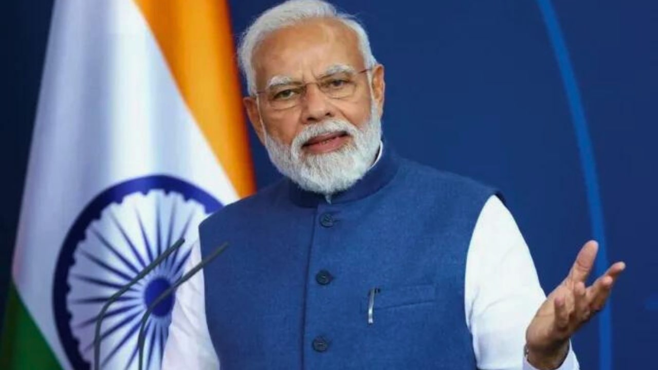
Prime Minister Narendra Modi will visit the landslide-affected areas in Wayanad, Kerala, on August 10 and conduct an aerial survey of the devastation and disaster caused by this terrible accident. More than 300 people have lost their lives due to natural disasters like landslides in Kerala.
On July 30, 2024, a landslide occurred in Wayanad district of Kerala due to heavy rainfall. At the same time, it has come to light that the death toll in the Wayanad landslide has increased further. 226 more bodies were recovered. 403 body parts were found during the search.
Search Operation Will Not Run On Saturday
Due to strict restrictions in the district due to the Prime Minister’s visit, no search operation will be conducted in disaster-affected areas like Mundakkai and Chooralmala on Saturday. District Collector D.R. Meghasree has given this information. Volunteers and others involved in the search cannot enter the disaster areas. The District Collector also announced that the search operation will be resumed on Sunday.
This Is The Schedule Of PM Modi’s Visit
Prime Minister Narendra Modi will visit landslide-affected Wayanad on August 10 and meet the disaster-affected people. A source said that the Prime Minister will reach Kannur by a special plane. From there, he will conduct an aerial survey of the landslide-affected areas by helicopter. After this, he will visit some relief camps with more than 10,000 homeless people.
Rahul Gandhi Said, Thank You
Rahul Gandhi, a Former Congress MP from Wayanad, has reacted to PM Modi’s visit to the city. He said, ‘Thank you, Modi ji, for coming to Wayanad to personally take stock of the tragedy. This is a good decision. I am confident that once the Prime Minister sees the extent of the devastation firsthand, he will declare it a national disaster.’
How Tragedy Struck Wayanad
The epicentre of the disaster in Wayanad is the Iruvazhinji River, which is at an altitude of about 1800 metres and flows through three affected villages – Mundakkai, Chooralmala and Attamala in Vythiri taluk – before merging with the Chaliyar river. The river’s water level rose after the rains, and its currents became more rapid. Officials say Vythiri received about 57 cm of rainfall in 48 hours, following which the Iruvazhinji swelled and the landslide occurred.
The debris from the landslide fell into the river and formed a wall of debris, inundating the villages upstream. Heavy rainwater flowing into the river from the hills above and the slopes led to the disaster. Remote sensing data shows that Mundakkai, the first village on the river’s path, now flattened and devastated, is located at about 950 metres. It is about 3 kilometres away, roughly halfway to the centre.